
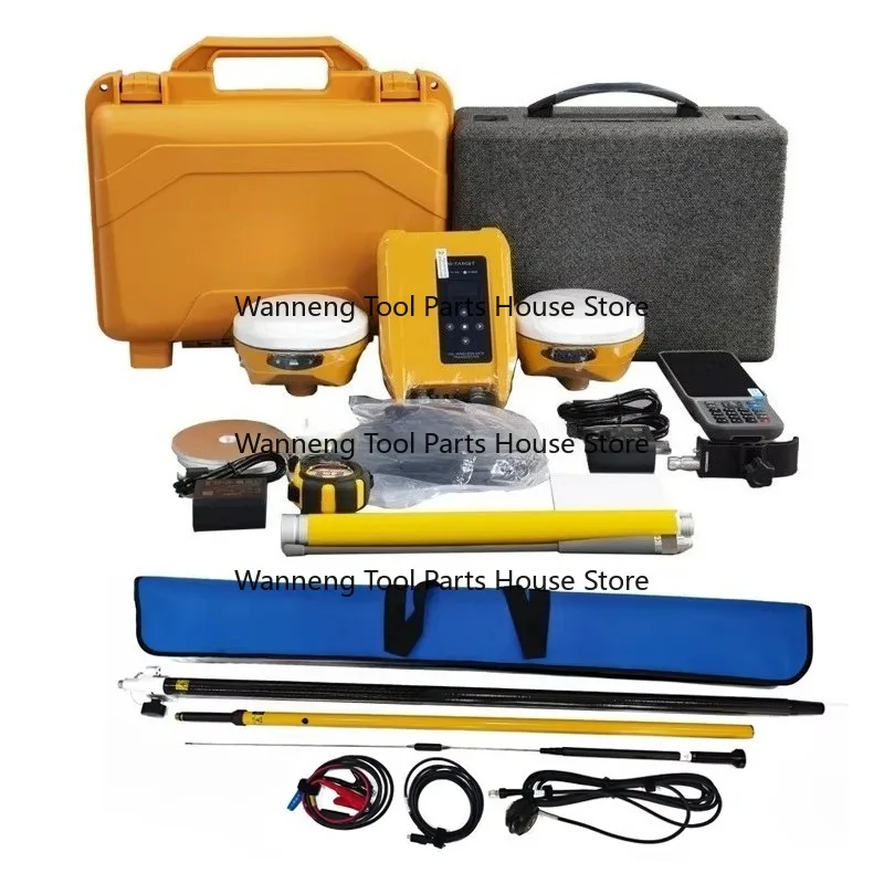
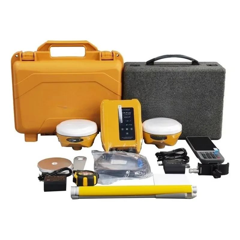
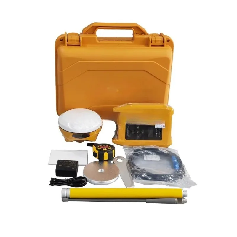
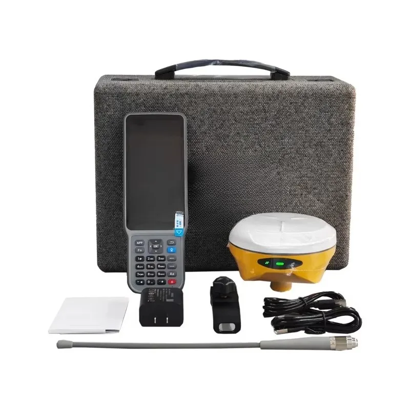



- High-concerned chemical: None
- Electronic: No
- DIY Supplies: Electrical
- Origin: Mainland China
- IP Rating: IP68
- Network Module: Bluetooth
- Type: Dual-Frequency Receiver
- Place of Origin: Guangdong, China
- BDS: B1I/B2I/B3I/B1C/B2a/B2b
- GALILEO: E1/E5a/E5b/E6*
- GLONASS: L1/L2
- gps: L1C/A/L1C/L2P(Y)/L2C/L5
- NavlC: /
- Operating Temperature: -45℃~+75℃
- QZSS: L1/L2/L5/L6*
- SBAS: L1/L2/L5
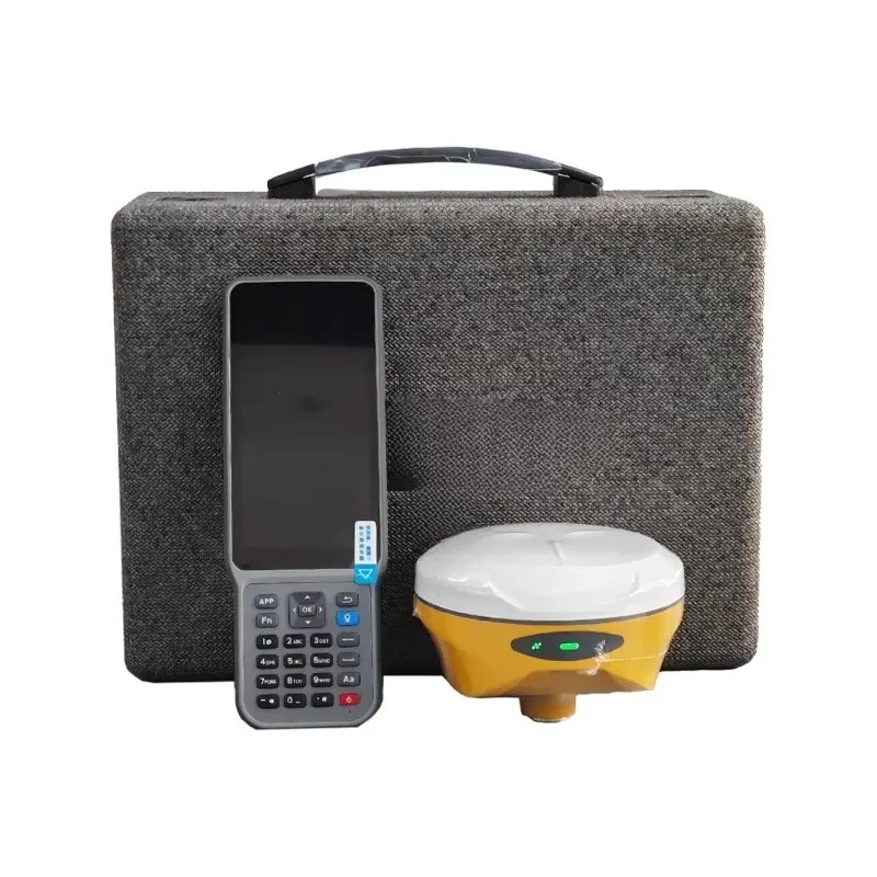
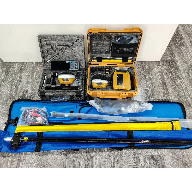
- Product name: GNSS RTK
- Model: Hi-Target V300
- Application: Survey
- Function: Bluetooth
- Channels: 1408 Channels
- Satellite: 5 Sattelites
- IMU: 60 Degree
- IMU update rate: 200 Hz
- Software: Hi Survey
- RTK Accuracy: Horizontal: 8mm + 1ppm
Dear friends, Welcome to our store! If you need other models of this product, or want to quickly learn about the product information, please feel free to contact us. You can contact us in the following ways: WhatsApp: +86 17854156950 Wechat:18806415026 Email:wtsy0901@qq.com
#detail_decorate_root .magic-0{width:750px}#detail_decorate_root .magic-1{overflow:hidden;width:750px;height:113px;margin-top:0;margin-bottom:0;margin-left:0;margin-right:0}#detail_decorate_root .magic-2{margin-top:0;margin-left:0;width:750px;height:113px}#detail_decorate_root .magic-3{margin-bottom:10px;line-height:0}#detail_decorate_root .magic-4{margin-bottom:0}#detail_decorate_root .magic-5{position:relative;width:100%}#detail_decorate_root .magic-6{overflow:hidden;width:373px;height:373px;margin-top:0;margin-bottom:0;margin-left:0;margin-right:0}#detail_decorate_root .magic-7{margin-top:0;margin-left:0;width:373px;height:373px}#detail_decorate_root .magic-8{overflow:hidden;width:373px;height:373px;margin-top:0;margin-bottom:0;margin-left:4px;margin-right:0}#detail_decorate_root .magic-9{width:750px;border-collapse:collapse}#detail_decorate_root .magic-10{min-height:28px;padding:5px 10px;width:725px;min-height:28px;box-sizing:content-box}#detail_decorate_root .magic-11{text-align:center}#detail_decorate_root .magic-12{display:none}#detail_decorate_root .magic-13{min-height:28px;padding:5px 10px;width:127px;min-height:28px;box-sizing:content-box}#detail_decorate_root .magic-14{min-height:28px;padding:5px 10px;width:431px;min-height:28px;box-sizing:content-box}#detail_decorate_root .magic-15{min-height:28px;padding:5px 10px;width:126px;min-height:28px;box-sizing:content-box}#detail_decorate_root .magic-16{min-height:28px;padding:5px 10px;width:578px;min-height:28px;box-sizing:content-box}#detail_decorate_root .magic-17{min-height:28px;padding:5px 10px;width:430px;min-height:28px;box-sizing:content-box}#detail_decorate_root .magic-18{margin-bottom:10px;overflow:hidden}#detail_decorate_root .magic-19{overflow:hidden;width:750px;height:649px;margin-top:0;margin-bottom:0;margin-left:0;margin-right:0}#detail_decorate_root .magic-20{margin-top:0;margin-left:0;width:750px;height:649px}#detail_decorate_root .magic-21{overflow:hidden;width:750px;height:1162px;margin-top:0;margin-bottom:0;margin-left:0;margin-right:0}#detail_decorate_root .magic-22{margin-top:0;margin-left:0;width:750px;height:1162px}#detail_decorate_root .magic-23{overflow:hidden;width:750px;height:479px;margin-top:0;margin-bottom:0;margin-left:0;margin-right:0}#detail_decorate_root .magic-24{margin-top:0;margin-left:0;width:750px;height:479px}#detail_decorate_root .magic-25{overflow:hidden;width:750px;height:788.75px;margin-top:0;margin-bottom:0;margin-left:0;margin-right:0}#detail_decorate_root .magic-26{margin-top:0;margin-left:0;width:750px;height:788.75px}#detail_decorate_root .magic-27{overflow:hidden;width:750px;height:193px;margin-top:0;margin-bottom:0;margin-left:0;margin-right:0}#detail_decorate_root .magic-28{margin-top:0;margin-left:0;width:750px;height:193px}
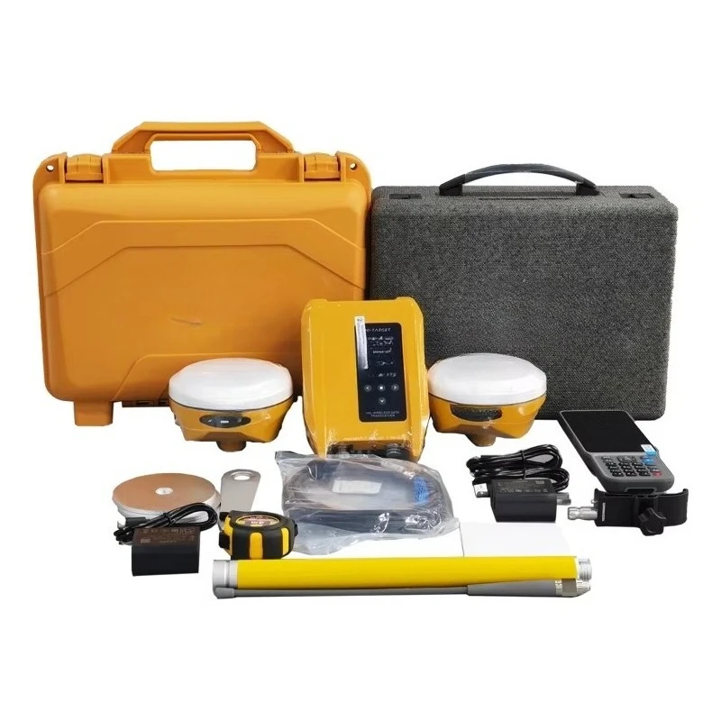
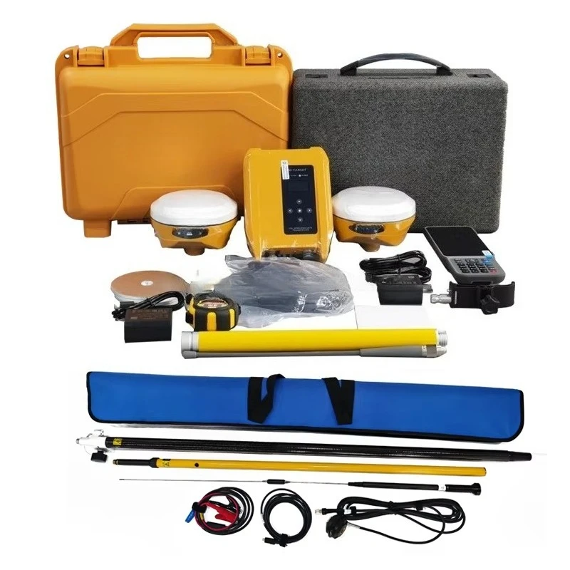
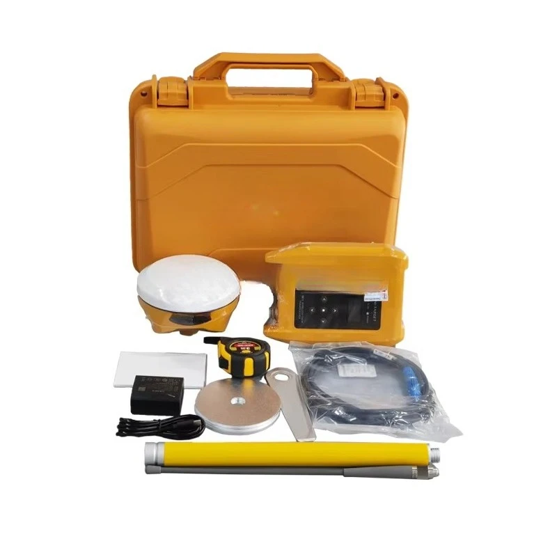
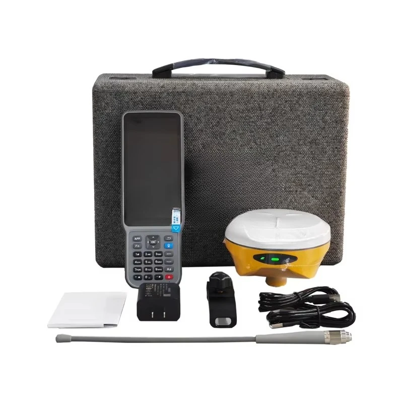

Hi-Target V300 | ||||
GNSS configuration | Channel 1408 | |||
GPS:L1C/A,L1C,L2P(Y),L2C,L5 | ||||
GLONASS:L1,L2 | ||||
GALILEO:E1,E5a,E5b,E6* | ||||
QZSS:L1,L2,L5,L6* | ||||
IRNSS:L5* | ||||
SBAS:L1,L2,L5 | ||||
L-BAND* | ||||
Output format | ASCII:NMEA-0183,Binary code | |||
Positioning output frequency | 1Hz~20Hz | |||
Static data format | GNS, Rinex dual-format static data | |||
Difference scheme | RTCM2.X,RTCM3.X | |||
Network mode | VRS,FKP,; Supports the NTRIP protocol | |||
System configuration | Operating system | Linux Operating system | ||
Data storage | Built-in 16GB ROM, support static data automatic cycle storage | |||
Accuracy and reliability | RTK positioning accuracy | Plane: ±(8+1×10⁻⁶Dmm(D is the distance between measured points) | ||
Height: ±(15+1×10⁻⁶D)mm(D is the distance between measured points) | ||||
Static positioning accuracy | Plane: ±(2.5+0.5×10⁻⁶D)mm(D is the distance between measured points) | |||
Height: ±(5+0.5×10⁻⁶D)mm(D is the distance between measured points) | ||||
Difference accuracy of satellite station | Plane accuracy: 10cm; Height accuracy: 20cm | |||
DGPS positioning accuracy | Plane accuracy: ±0.25m+1ppm; Elevation accuracy: ±0.50m+1ppm | |||
SBAS positioning accuracy | 0.5m | |||
Inclination measurement accuracy | 8mm+0.7mm/°tilt | |||
Image lofting accuracy | 1cm | |||
Initialization time | <10 seconds | |||
Initialization reliability | >99.99% | |||
Breakpoint continuation | RTK measurements are still available during differential signal outages | |||
Camera | function | Professional star night vision HD camera, large viewing Angle, support real scene lofting | ||
Communication unit | I/0 port | USB Type-C port, SMA port | ||
Cellular mobility | eSIM card: Support host and manual double eSIM, double network double standby, including 3 years of traffic, boot is high precision | |||
Built-in 4G network communication: TDD-LTE,FDD-LTE,WCDMA,TD-SCDMA,EDGE,GPRS,GSM | ||||
WiFi communication | 802.11a /b/g/n access point and client mode to provide WiFi hotspot services | |||
Bluetooth communication | Bluetooth® 2.4GHz, BT5.2 | |||
Built-in full protocol radio | Transceiver integration: base station transmission and mobile station reception | |||
Frequency band: 410MHz to 470MHz | ||||
Protocol: HI-TARGET,TRIMTALK450S,TRIMMARKⅢ,TRANSEOT,SOUTH,CHC,SATEL | ||||
Number of channels: 116(16 of which are configurable) | ||||
Sensor | Electronic bubbles: Intelligent alignment | |||
Tilt measurement: Built-in a new generation of high-precision inertial navigation, automatic startup initialization, automatic attitude compensation | ||||
User interface | Button: Single button | |||
LED prompt light: satellite light, signal light, power light | ||||
Functional application | Advanced functions: NFC flash link, WebUI interaction, USB flash drive firmware upgrade | |||
Intelligent application: intelligent voice, function self-test | ||||
Remote service: message push, online upgrade, remote control | ||||
Cloud services: management, location services, collaborative work, data analytics | ||||
Physical characteristics | Host battery: high capacity lithium battery 6800mAh, working time is better than 16 hours | |||
External power supply: USB 15W charging | ||||
Size: Φ130mm×68mm | ||||
Environmental characteristics | Dustproof and waterproof: IP68 | |||
Anti-fall: Resist the natural fall of 2 meters high measuring pole | ||||
Relative humidity: 100% non-condensing | ||||
Operating temperature: -45℃~+75℃ | ||||
Storage temperature: -55℃~+85℃ | ||||



Avaliações
Ainda não existem avaliações.