
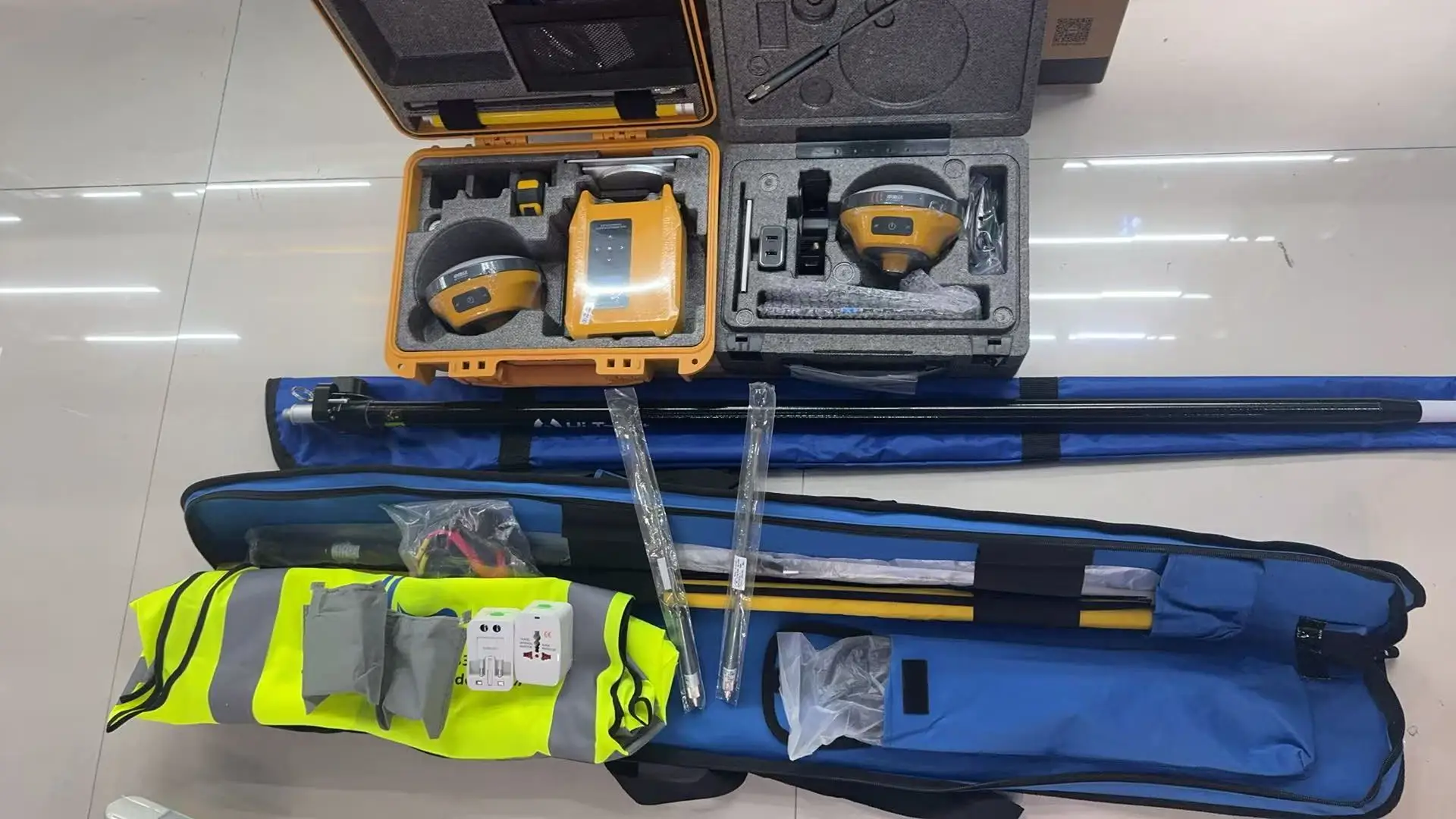
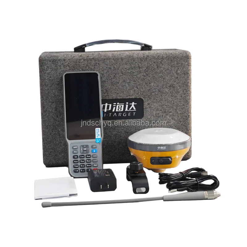
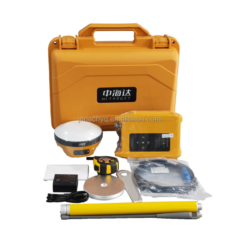
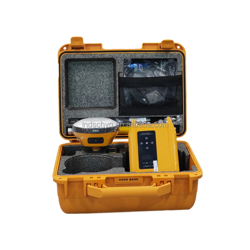
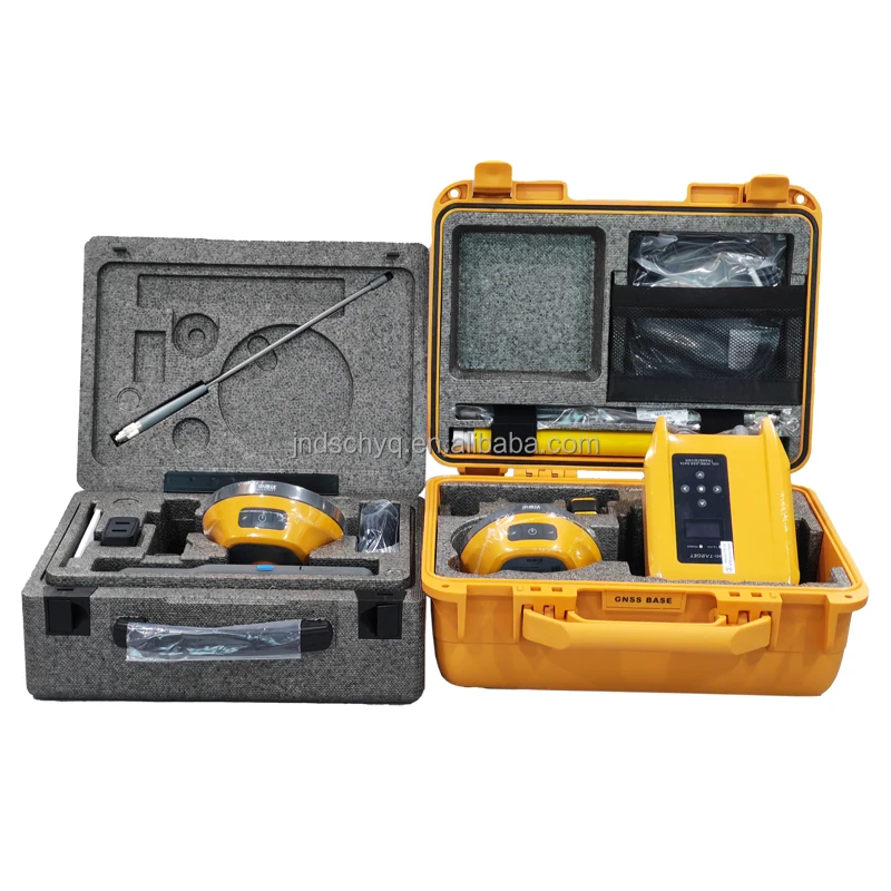
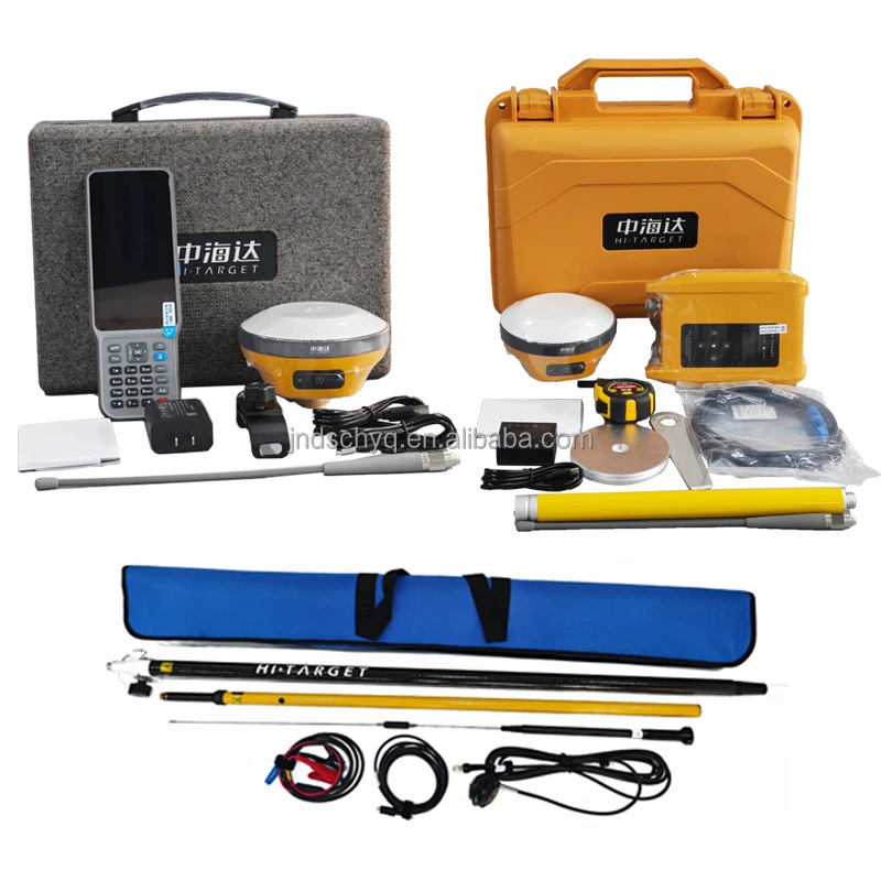



- Semi-finishedproduct: No
- High-concerned chemical: None
- Electronic: Yes
- DIY Supplies: Electrical
- Origin: Mainland China
- Place of Origin: Guangdong, China
- Brand Name: Hi target
- Model Number: V200
- IP Rating: IP68
- GLONASS: L1/L2
- GALILEO: E1/E5a/E5b/E6
- Type: Dual-frequency Receiver, Gps Receiver
- Operating Temperature: -45℃~75℃
- SBAS: L1/L2/L5
- Network Module: Bluetooth
- BDS: B1I/B2I/B3I/B1C/B2a/B2b
- NavlC: /
- QZSS: L1/L2/L5/L6*
- gps: L1C/A/L1C/L2P(Y)/L2C/L5
- Packaging: Carton Box
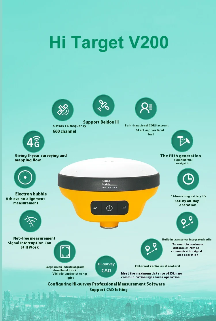
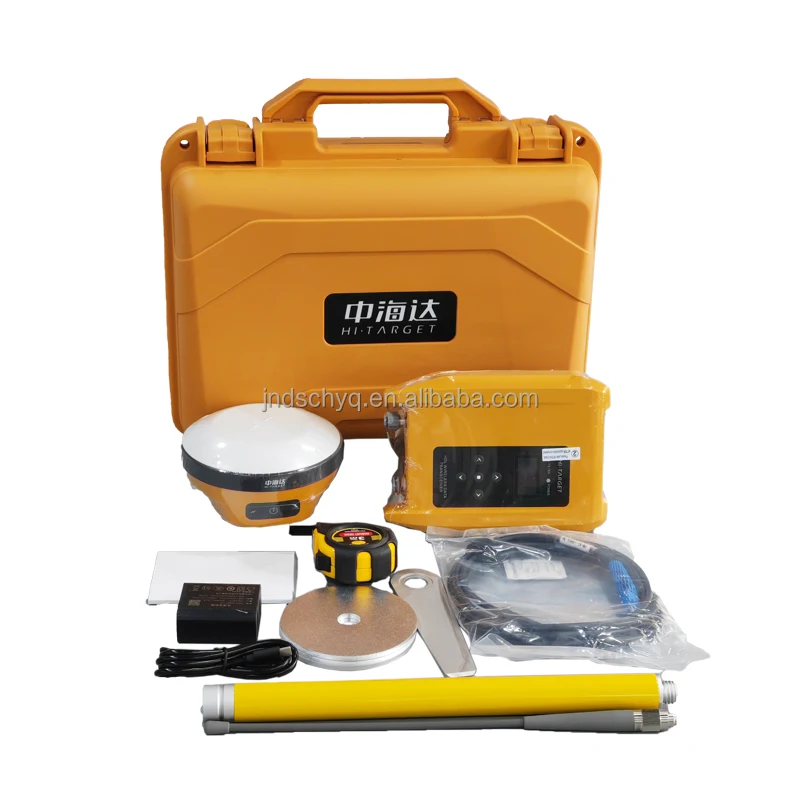
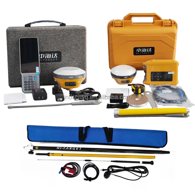
- Product name: Hi Target V200
- Application: Survey
- Function: GPS RTK Survey (Radio
- Channels: 1408 Channels
- Satellite: GPS+BDS+Glonass+Galileo+QZSS+SBAS+IRNSS
- Size: 132mmx67mm
- Weight: 0.67kg
- Radio: 2W
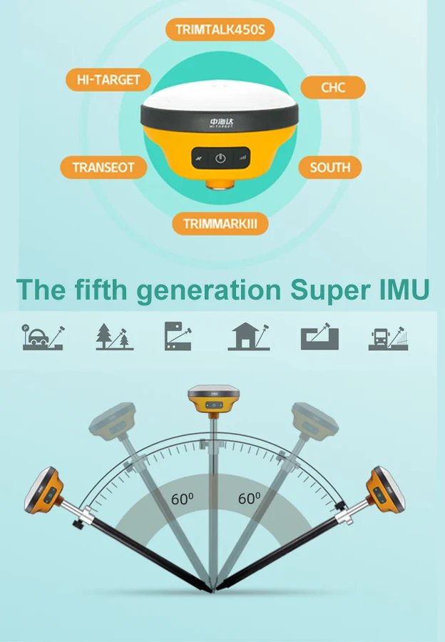
- IMU: 60 Degree
High Precision Hi Target V200 Gnss Rtk System Gps Surveying Equipment 1408 Channels Gps Gnss Receiver Rtk Hi Target V200

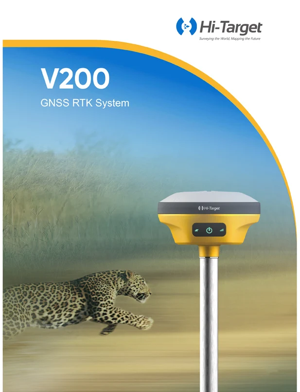
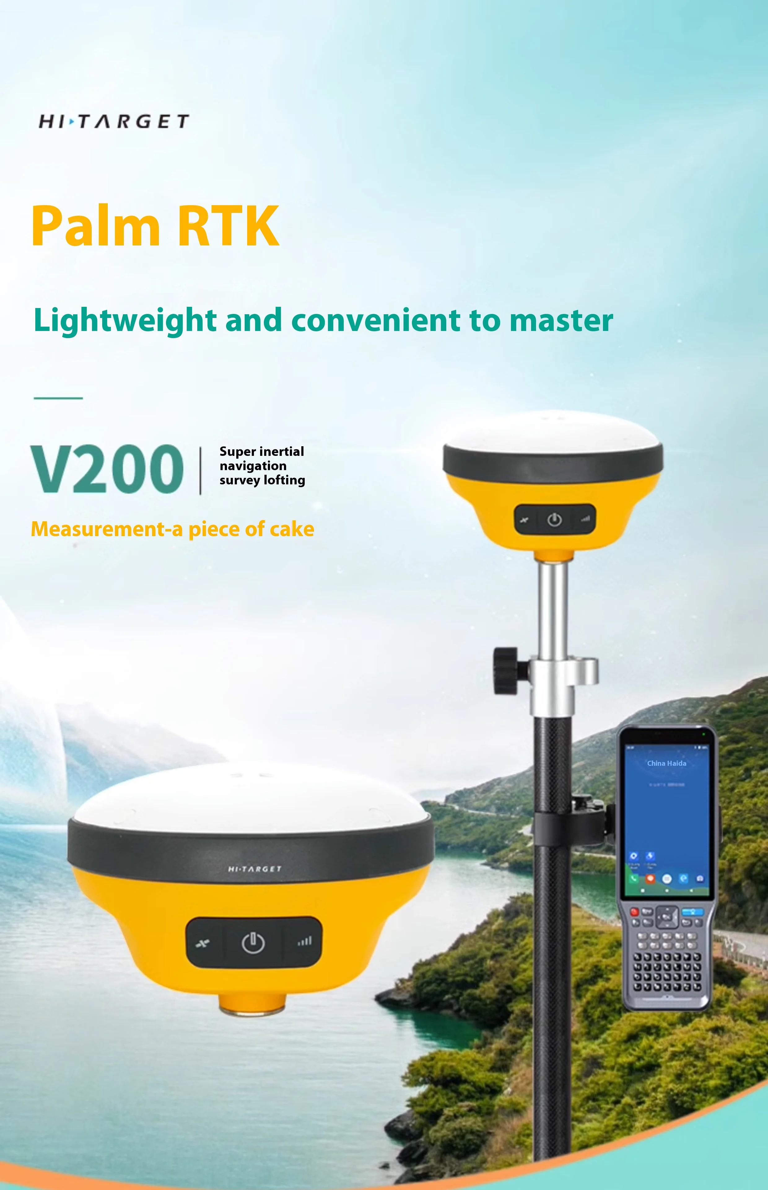


Hi-Target RTK V200 | ||||||
GNSS configuration | channels: 1408 | |||||
BDS: B1I,B2I,B3I,B1C,B2a | ||||||
GPS: L1, L2, L5 | ||||||
GLONASS: L1, L2 | ||||||
GALILIEO: E1, E5a, E5b | ||||||
SBAS: Support | ||||||
QZSS: L1,L2,L5 | ||||||
Output format | ASCII: NMEA-0183, binary code | |||||
Positioning output frequency | 1Hz~20Hz | |||||
Static data format | GNS, Rinex dual format static data | |||||
Difference format | CMR, RTCM2.X, RTCM3.0, RTCM3.2 | |||||
Network mode | VRS, FKP, MAC; support NTRIP protocol | |||||
System Configuration | operating system | Linux operating system | ||||
Start Time | 3 seconds | |||||
data storage | Built-in 8GB ROM, supports automatic storage of static data | |||||
Accuracy and reliability [1] | RTK positioning accuracy | Plane: ±(8+1×10⁻⁶D) mm (D is the distance between the measured points) | ||||
Elevation: ±(15+1×10⁻⁶D) mm (D is the distance between the measured points) | ||||||
Static positioning accuracy | Plane: ±(2.5+0.5×10⁻⁶D) mm (D is the distance between the measured points) | |||||
Elevation: ±(5+0.5×10⁻⁶D) mm (D is the distance between the measured points) | ||||||
DGPS positioning accuracy | Plane accuracy: ±0.25m+1ppm; elevation accuracy: ±0.50m+1ppm | |||||
SBAS positioning accuracy | 0.5m | |||||
Initialization time | <10s | |||||
Initialization reliability | >99.99% | |||||
Communication unit | I/O port | USB Type-C interface, SMA interface | ||||
Built-in 4G network communication | Built-in eSIM4 card, including 3 years Internet access fee, you can connect to the Internet after power on | |||||
WiFi communication | 802.11 a/b/g/n access point and client mode, can provide WiFi hotspot service | |||||
communication | ® 4.2/2.1+EDR, 2.4GHz | |||||
Built-in radio | Built-in transceiver station: | |||||
Power: 0.5W/1W/2W adjustable | ||||||
Frequency band: 410MHz~470MHz | ||||||
Protocol: HI-TARGET, TRIMTALK450S, TRIMMARKⅢ, TRANSEOT | ||||||
Number of channels: 116 (16 of which can be configured) | ||||||
sensor | Electronic bubble | Realize smart alignment | ||||
Tilt measurement | Built-in high-precision inertial navigation, automatic attitude compensation, 8mm+0.7mm/°tilt (accuracy within 30°<2.5cm) | |||||
User Interface | button | A power button | ||||
LED indicator light | Satellite lights, signal lights, power lights | |||||
WEB UI | Built-in WEB page to realize receiver setting and status check | |||||
Function application | Advanced Features | OTG function, NFC IGRS, WebUI interaction, U disk firmware upgrade | ||||
Smart application | Smart base station, smart voice, function self-check, smart CORS | |||||
Remote Service | News push, online upgrade, remote control | |||||
cloud service | Equipment management, location services, collaborative operations, data analysis | |||||
Physical characteristics | Host battery | Built-in high-capacity lithium battery 6800mAh/7.4V, network mobile station working time is more than 10 hours[2] | ||||
External power supply | Support USB port charging and external power supply | |||||
size | Φ132mmx67mm | |||||
weight | ≤0.82kg | |||||
Power consumption | 4.2W | |||||
material | The shell is made of magnesium alloy material | |||||
Environmental characteristics | Dustproof and waterproof | IP68 | ||||
Anti-fall | Resistance to natural drop of 2m high measuring rod | |||||
Relative humidity | 100% non-condensing | |||||
Operating temperature | -30℃~+70℃ | |||||
storage temperature | -40℃~+80℃ | |||||







Avaliações
Ainda não existem avaliações.